Ditch the Overkill. Keep the Outcome.
GeoBotics empowers law enforcement, public safety, private drone operators, and small businesses with affordable, purpose-built mapping tools and training. We bridge the gap between high-end results and real-world budgets—delivering field-ready solutions without the overkill. Our training feels like an expert in the room, and our tools are designed for confidence, clarity, and precision—at a fraction of the cost.
Where Fieldwork Meets the Future.
We believe you shouldn’t have to pay enterprise prices to get mission-ready results. We strip away the bloated features, complicated workflows, and overpriced systems — and replace them with precision tools and training built for the real world. Whether you’re a law enforcement agency, crash investigator, or drone professional, we give you exactly what you need to deliver high-quality geospatial results without the overwhelm.

Drone Mapping & Test Prep Training

Crash Reconstruction Training
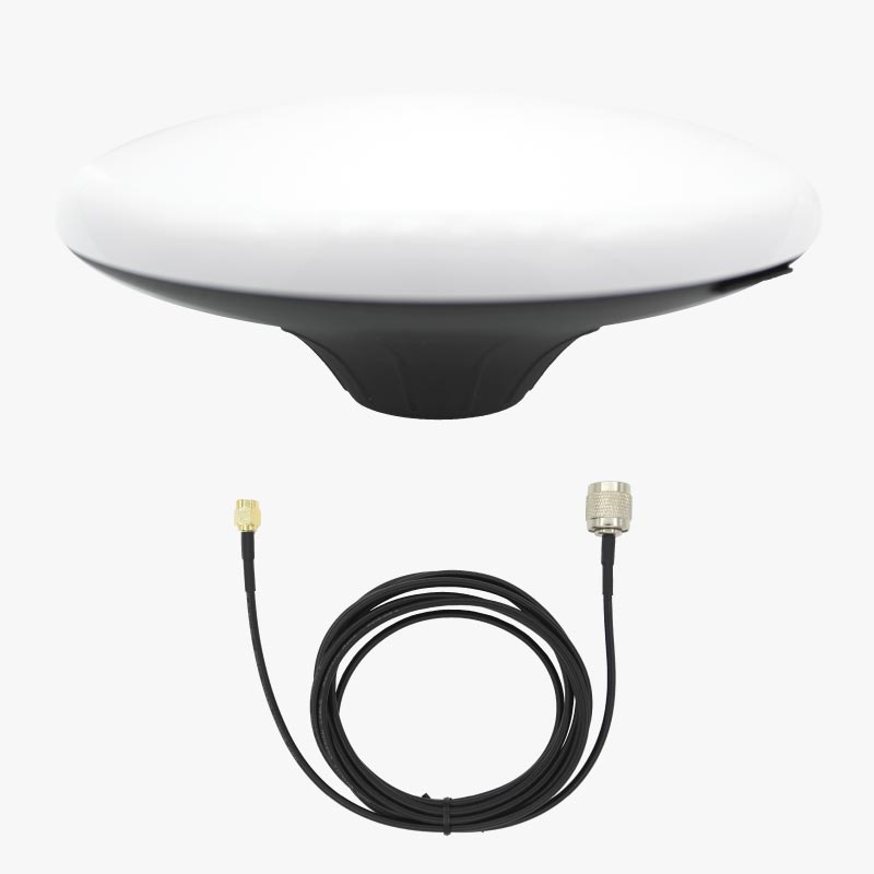
Mission Ready GNSS Kits for Mapping

Aerial Data Processing Services
Training for Real-World Missions
From drone mapping and operations to crash reconstruction and test prep, our hands-on courses give you the skills and confidence to excel in the field. Learn from experts with training designed to feel personal, practical, and tailored to your mission needs.
GNSS Kits, Built for the Field
Affordable, accurate, and easy to use — our GNSS solutions deliver survey-grade results without the complexity or cost. Designed for drone mapping, crash scenes, and field ops where precision matters and time is critical.
Expert Flight Planning & Data Processing Support
From mission planning to final deliverables, we help you get it right. We review your flight plans, optimize GCP placement, and guide terrain-aware mapping—then turn your data into crisp orthomosaics or detailed surfaces from LiDAR. Reliable results, without the learning curve.

Real Results from Real-World Training
We believe training should be more than informational—it should be transformational. These numbers reflect the trust, impact, and value GeoBotics delivers to public safety and professional drone teams across the country.
7,500+
Instructional Hours
From drone fundamentals to advanced crash reconstruction, our online and in-person courses provide field-ready skills that stick.
50+
Agencies and Businesses
Law enforcement, public safety units, and private drone operators count on GeoBotics to build confident, capable mapping & recon teams.
92%
Course Completion
Most users finish our full-length courses, a rare benchmark in online education—proof that GeoBotics keeps learners engaged and mission-focused.
14
Coast-to-Coast Impact
Our lead instructor has delivered in-person training across 14 states—and counting. Our online reach extends even further, with students trained in the U.S., Canada, and Australia.
Founder Spotlight
After 15 years in law enforcement and years of boots-on-the-ground experience in mapping, our founder saw a clear gap: quality drone training and tech were either overpriced or underdelivered—especially for public safety and field teams. So, he built GeoBotics to change that.
He’s trained professionals in 14 states (and counting) with online learners from across the globe. With published work in Collision Magazine, the Accident Reconstruction Journal, and the PhotoModeler Blog, his credibility is backed by real results and national recognition.


As published in…..


Innovating Robotics for Geospatial Excellence
Take the next step in transforming your industry—sign up, subscribe, or discover how GeoBotics can power your progress today.