Portfolio

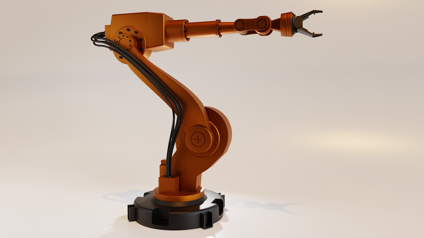
Innovating Geospatial Solutions Through Robotics
GeoBotics combines cutting-edge robotics and geospatial technologies to empower industries, driven by a commitment to precision, efficiency, and innovation in public safety, surveying, and industrial operations.
Advancing Robotics for Geospatial Precision
Explore our groundbreaking projects that demonstrate innovation, technical mastery, and measurable success across industries.
Autonomous Mapping Solutions
Drone-Assisted Terrain Survey

Smart Data Integration
AI-Powered GIS Processing

Emergency Response Innovations
Robotic Support for Rescue Missions
Industrial Automation Enhancements
Automated Infrastructure Analysis

Autonomous Mapping Solutions
Drone-Assisted Terrain Survey

Smart Data Integration
AI-Powered GIS Processing
Innovative Robotics and Geospatial Solutions for Industry Success
Explore feedback from our clients who achieved exceptional results through our services.

Sarah Johnson
Geospatial Analyst
GeoBotics provided transformative solutions, delivering precision and unmatched support.

Michael Lee
Survey Technician
Their expertise in robotics and geospatial tech exceeded expectations at every turn.

Emily Carter
Drone Specialist
The service was seamless, and the insights gained boosted our operations tremendously.