Services
Precision Mapping Solutions for Emergency Response
Explore our diverse range of services designed to deliver exceptional results and meet client expectations.

Drone-Assisted Surveying
High-Accuracy GNSS Integration

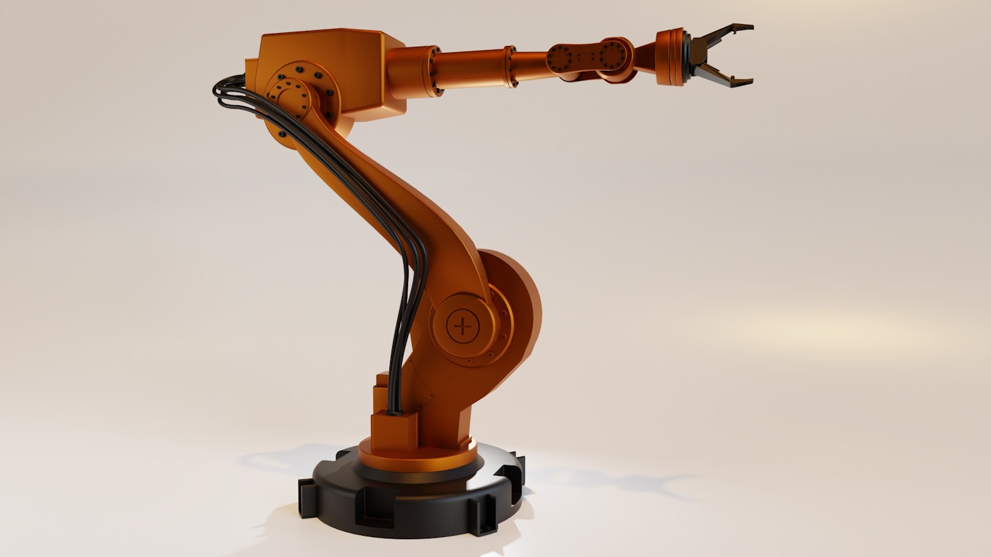
Industrial Robotics for Data Collection

Customized Geospatial Analytics
Cutting-Edge Solutions for Mapping and Safety
Explore how GeoBotics transforms industries with advanced robotics and geospatial technologies, delivering precision and efficiency every step of the way.
Transforming Data into Actionable Geospatial Strategies
See what our clients are saying about the innovative solutions and exceptional service we deliver.

Alex Johnson
Surveying Specialist
GeoBotics exceeded our expectations by providing accurate drone mapping solutions that streamlined our operations.

Taylor Green
Public Safety Coordinator
The professionalism and precision of GeoBotics’ team were unmatched, helping us meet critical deadlines seamlessly.

Jordan Lee
Industrial Operations Manager
We couldn’t be happier with the cutting-edge technology and attentive support GeoBotics provided throughout the project.